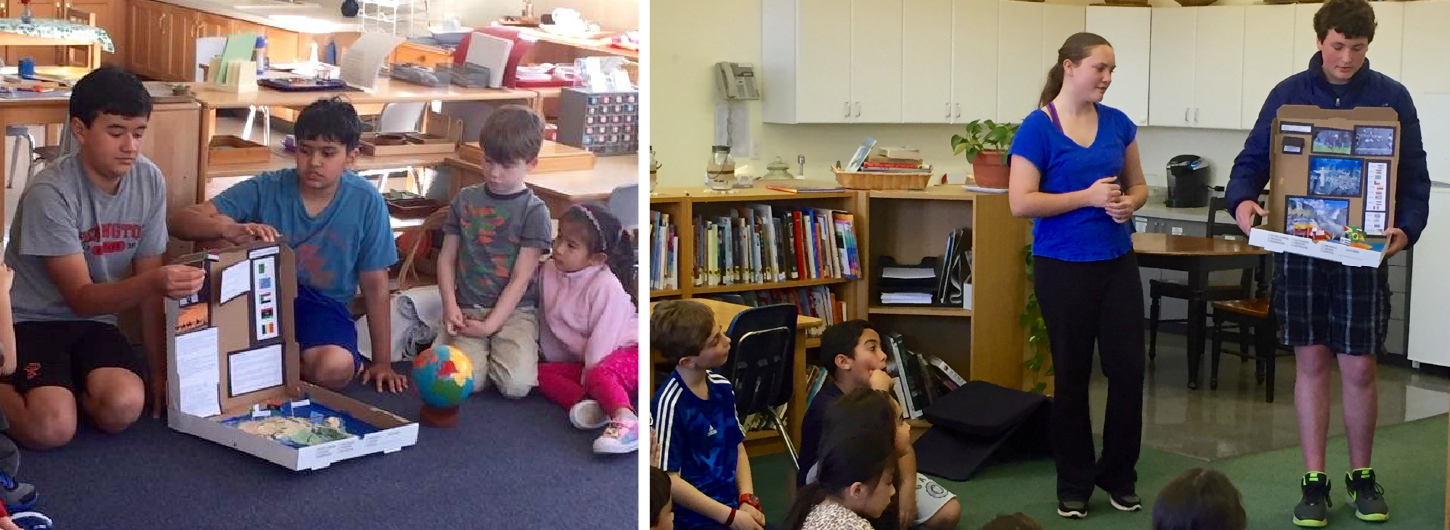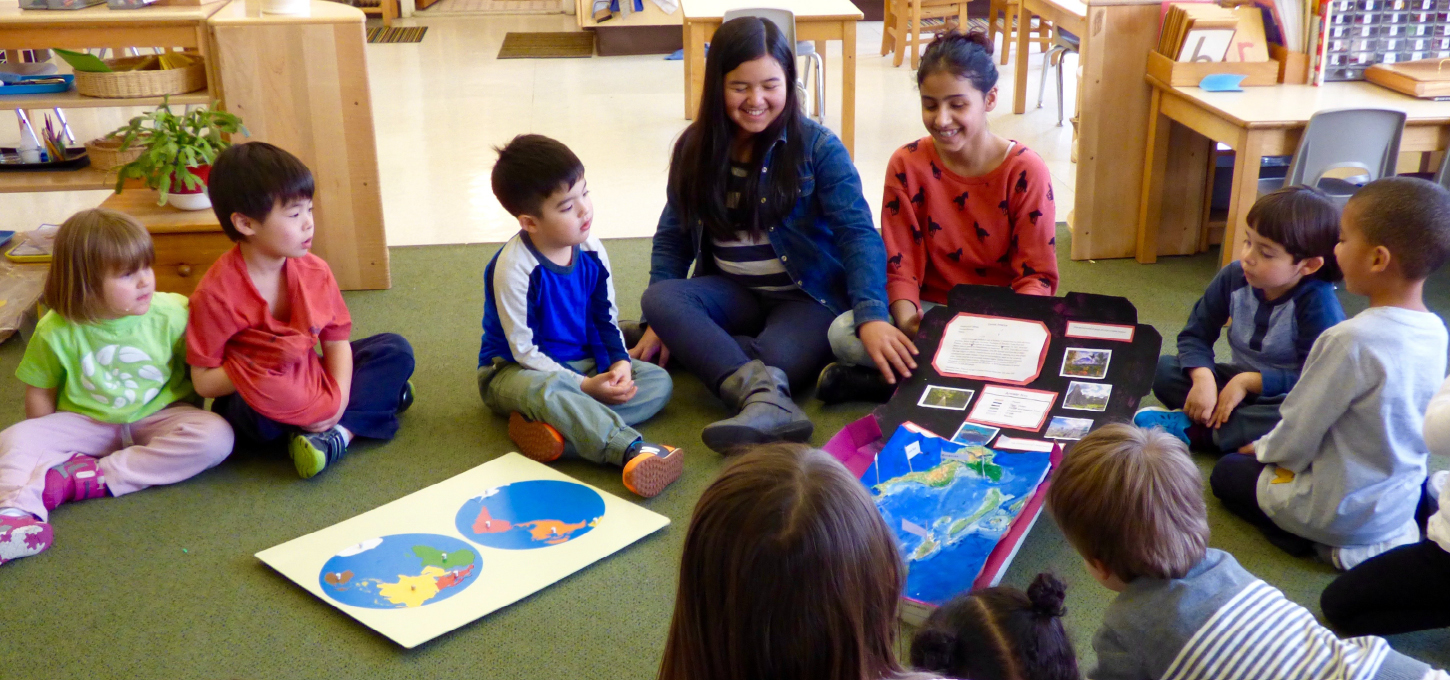
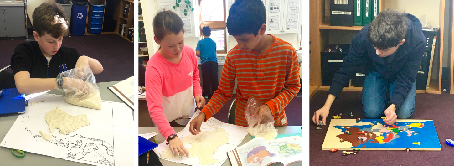
The Middle School students recently created topographical maps as part of a Geography lesson. The students worked with a peer and created 3-D salt clay models. They mapped out important physical features, and identified flags and landmarks of their continent or country. It was wonderful to see students expand on their knowledge of their map work from Primary and Lower Elementary while developing a deeper understanding of geography. Students were invited to share their models with Toddler, Primary, Lower, and Upper Elementary classrooms. It was another opportunity for the Middle School students to show leadership within the school community.